Pilots in WW2 needed maps in case they went down behind enemy lines. The maps needed to be durable, able to get wet, and quiet to handle. The solution was printing on silk. Fine woven silk has a grain tight enough that ultra fine printing required for maps was legible, and also could be printed on both sides. Sometimes Parachute silk that wasn’t up to the job of being a parachute would be used.
As the US’s engagement in the war loomed, Our access to silk from Japan was threatened. Rayon was already being produced but was developed, refined and scaled up for the war effort.
Pilots would sometimes sew their escape maps into the lining of their jackets to make sure it was on them even if they had to quickly eject. This is the antecedent to map printed linings in Bomber Jackets of today and also my high school years.
Right now these maps are available on eBay for what seems like too little money.
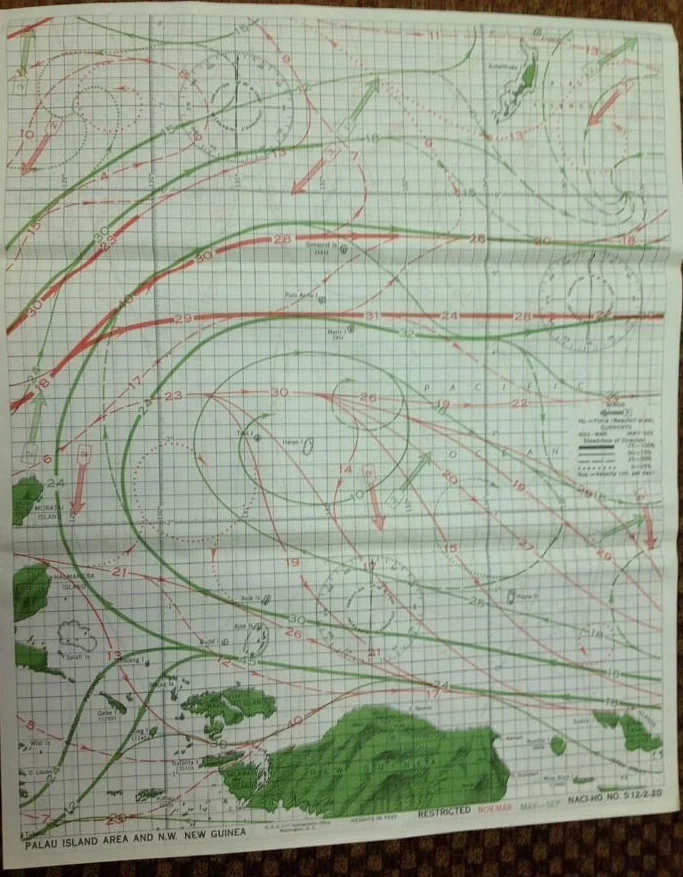
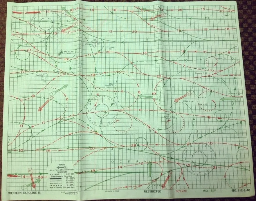
I just bought this one that shows New Guinea, but mostly the wind, wave, and current patterns in the surrounding water. My hubby Fabio had an Aunt who had a stylish blouse made of these maps. I never got to see that but it lives on as a stylish and frugal use of beautiful fine silk.